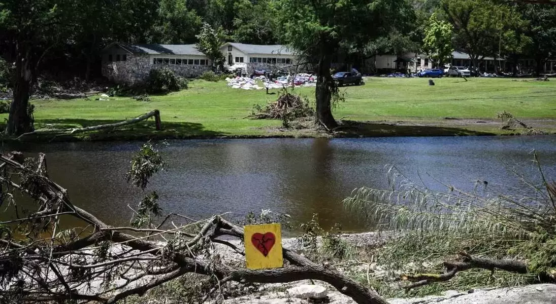
A recent investigation by NPR, in partnership with PBS's FRONTLINE and climate data experts, has unveiled serious inaccuracies in the Federal Emergency Management Agency's flood risk assessments, particularly concerning Camp Mystic in Texas. This new analysis indicates that a significantly higher number of structures at the camp, including cabins that housed young campers, were vulnerable to floodwaters than FEMA's official maps suggested. The revelations come in the wake of a devastating flood event that led to tragic loss of life at the camp, underscoring a broader national issue where many communities face unacknowledged flood hazards due to outdated or incomplete mapping.
The core issue lies in FEMA's mapping methodology, which historically has not adequately accounted for intense rainfall and flash flooding, instead focusing on coastal storm surges and large river overflows. This oversight has led to a critical underestimation of flood-prone areas across the United States. Experts from First Street, a climate risk modeling firm, assert that more than double the number of Americans live in high-risk flood zones than FEMA maps indicate, leaving homeowners uninsured and local authorities unprepared. Despite FEMA's awareness of these deficiencies, efforts to update and improve these maps have been hampered by a lack of congressional funding and political resistance, which often prioritizes economic development over public safety. The reluctance to adjust flood insurance costs and pressure from certain industry groups further complicate the implementation of more rigorous flood management regulations.
The implications of these inadequate maps extend beyond property damage to human lives, as tragically demonstrated at Camp Mystic, where several buildings were situated within a designated 'floodway'—the most perilous area of a floodplain. Even with local ordinances passed to mitigate building in high-risk zones, and despite warnings from experts like Jim Blackburn of Rice University, who labels floodways as extremely dangerous, the official response has been slow. The ongoing emergency in Kerr County, Texas, and the broader national context highlight an urgent need for federal agencies to swiftly approve grants for updated flood mapping and for policymakers to prioritize science-backed solutions over political and economic considerations. This proactive approach is crucial to ensure communities are accurately informed and adequately protected against the increasing frequency and intensity of flood events.
The safety and well-being of communities must be paramount, particularly in the face of escalating climate challenges. By embracing accurate scientific data and robust mapping technologies, government agencies, local authorities, and citizens can collectively foster a culture of preparedness and resilience. This involves not only updating flood maps but also enacting and enforcing stricter building codes, promoting public awareness of real flood risks, and ensuring that access to flood insurance is equitable and comprehensive. Such concerted efforts will empower individuals and communities to make informed decisions, mitigate potential disasters, and ultimately build a more secure future for all, reflecting a commitment to justice and shared responsibility.
